2020 Annual Trek
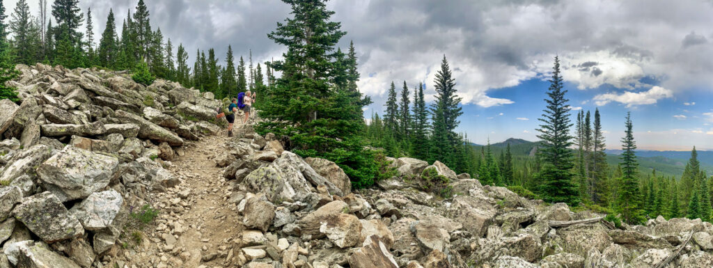
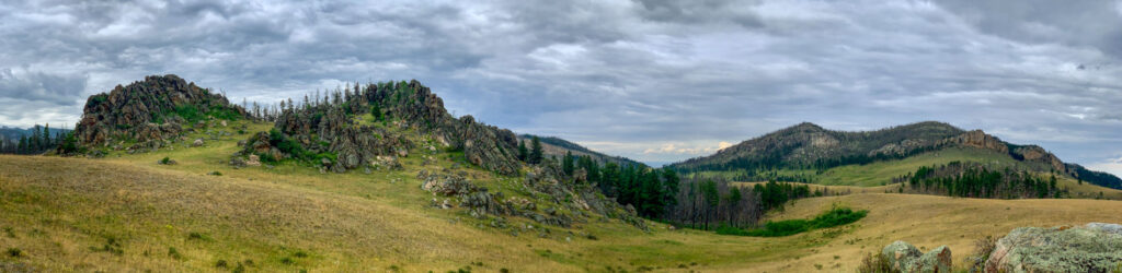
The summer after COVID-19 hit our area with gusto, we reevaluated our annual trip plan since we learned there were many (many) more people taking to the trails. Our original plan included an attempt at climbing the highest peak in the Cloud Peak Wilderness, but this path crosses the most frequently traveled area. We opted instead for some “trails less traveled.” We would hike up and over some cool country, wandering both in an out of the designated Wilderness Area.
DAYS 1-2
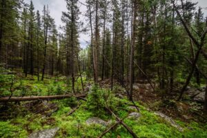
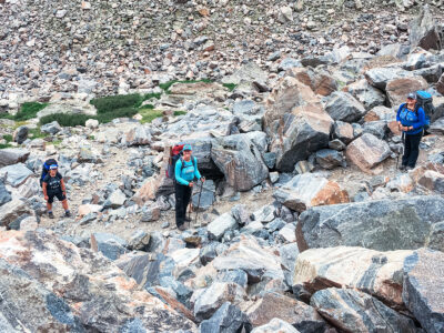
Our trip began with a wickedly terrible boulder-ridden drive from a trailhead toward the Forest Service boundary. We’d driven this exact road just three years prior, in the same vehicle. The reality now, however, was that the road had worsened and the boulders won. We ended up beginning our foot-trek a bit sooner than we had hoped. No matter. We were off. We had an adventure or two making it to our first camp site (a story for another post), but we made it.
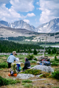
On day two, as we neared our first mountain lake, we came upon a sole female hiker who identified herself as a Forest Service contractor enjoying a solo trip. She asked us where we were headed and we referenced a trail on the map that leaves the NE side of the lake and cuts straight through thick forest. The trail was a connector to a more popular trail leading to our next destination. The woman shared that she had been looking for that same trail to no avail. She had given up and was headed a different direction.
We had the same tools as the hiker we had just encountered – a map, compass, and Avenza app. But we also had a secret advantage… Jenae.
We bid her farewell and continued on. We had the same tools as the hiker we had just encountered – a map, compass, and Avenza app. But we also had a secret advantage… Jenae. She’s like a bloodhound when it comes to sniffing out a trail, which is exactly what she did. The path we were seeking was of course the shortest distance between us and our destination. If we couldn’t find this trail and had to follow other trails around, we would be facing at least an 8-mile detour. But, Jenae delivered. The first third of the trail seemed like no trail at all. It was so disguised I was convinced there WAS no trail. We were forced to scurry through insanely thick brush and downed trees, all with a large pack on our backs. Hiking poles in this situation are only good to help clear brush or hold back a particular branch or branches while you attempt to squeeze through. The sunlight fades away, but you don’t want to remove your sunglasses because they are acting as safety goggles. It feels a little like Mother Nature is attacking.
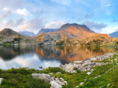
Occasionally we would catch a glimpse of what was clearly a trail and the going would get slightly easier long enough for us to forget the scratches and small bits of blood where a tiny puncture from something sharp reminded us who was in charge. This continued for the entirety of this forgotten trail until it punched through to the well-traveled path leading to our destination for the evening – Cloud Peak Reservoir.
DAYS 5
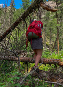
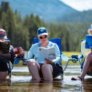
Fast forward on this very same trip. A common conversation over breakfast involves which shoes to wear to start the day. If weather and conditions allow, we all enjoy hiking in our Chacos. This day, however, started out wet. We set up camp as rain and hail were beginning to fall the night before. We were headed down a canyon, and had some ground to cover in order to make our desired destination. Therefore, even though the map showed the trail criss-crossing a small stream several times, we all opted to don our hiking shoes.
As we began our hike that day, we discovered the stream was relatively small, but it wasn’t a “one-step” stream. It was probably 10-12 feet across in most spots. Some crossings had a large downed tree or two conveniently placed to aid in our crossing (if we chose that path). Other crossings had some rocks out of the water, enough that one could attempt to rock hop across. Still others left us completely to our own devices to pick a path across.
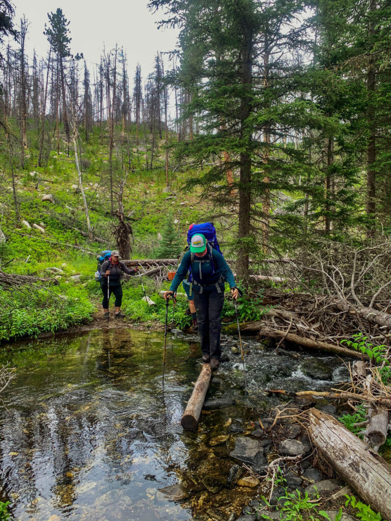
It is true that each hiker will “hike his/her own hike.” Each time our crew approached another crossing, it felt like “game on.” We spread out, each assessing what lay before us through our own lens. Sometimes, I would find myself still assessing only to look up and see Jenae or Julie or Kristen standing on the other side grinning.
We soon began commenting about the “adventure-park-feel” of this particular trail. It was relentless, challenging, and fun. We also began counting the crossings. 16 in all – 12 before our lunch break! We rocked it. Literally.

Comments